


GeoScreen Now Covers Wales — What Actually Changed Under the Hood

GeoScreen has, until now, been an England-only product. That was a deliberate scope decision at launch — better to be reliable across one nation than thin across three. As of this update, that scope has grown: GeoScreen now covers Wales, with the same rule-governed rating engine, the same figure set, and the same discipline about

By |2026-09-22T18:39:01+00:00August 4th, 2026|Design, Featured, Geoscience, Geoscreen, News, Technology, Uncategorized|Comments Off on GeoScreen Now Covers Wales — What Actually Changed Under the Hood

Understanding EA Flood Zones — what Flood Zone 1, 2 and 3 mean for your development

If you're buying land or bringing a site forward for development in England, flood risk is one of the first things a planning authority will look at — and one of the most common reasons a scheme runs into difficulty. Yet the flood zone system is widely misunderstood, and a surprising number of site appraisals

By |2026-09-22T18:36:15+00:00July 21st, 2026|Featured, Geoscience, Geoscreen, News, Technology, Uncategorized|Comments Off on Understanding EA Flood Zones — what Flood Zone 1, 2 and 3 mean for your development

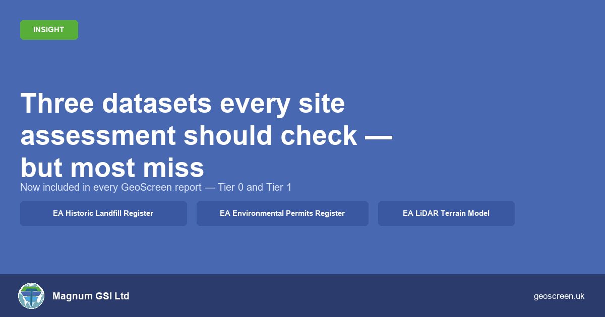
Three datasets every site assessment should check — but most miss

When I built GeoScreen, the goal was straightforward: take the datasets a competent geotechnical engineer would check and automate the interrogation so nothing gets missed under time pressure. The platform launched with a core stack: a set of geohazard ratings built on BGS geology, EA flood mapping, and heritage and ecology datasets. But after running

By |2026-09-22T17:05:51+00:00June 25th, 2026|Design, Featured, Geoscience, Geoscreen, News, Technology|Comments Off on Three datasets every site assessment should check — but most miss

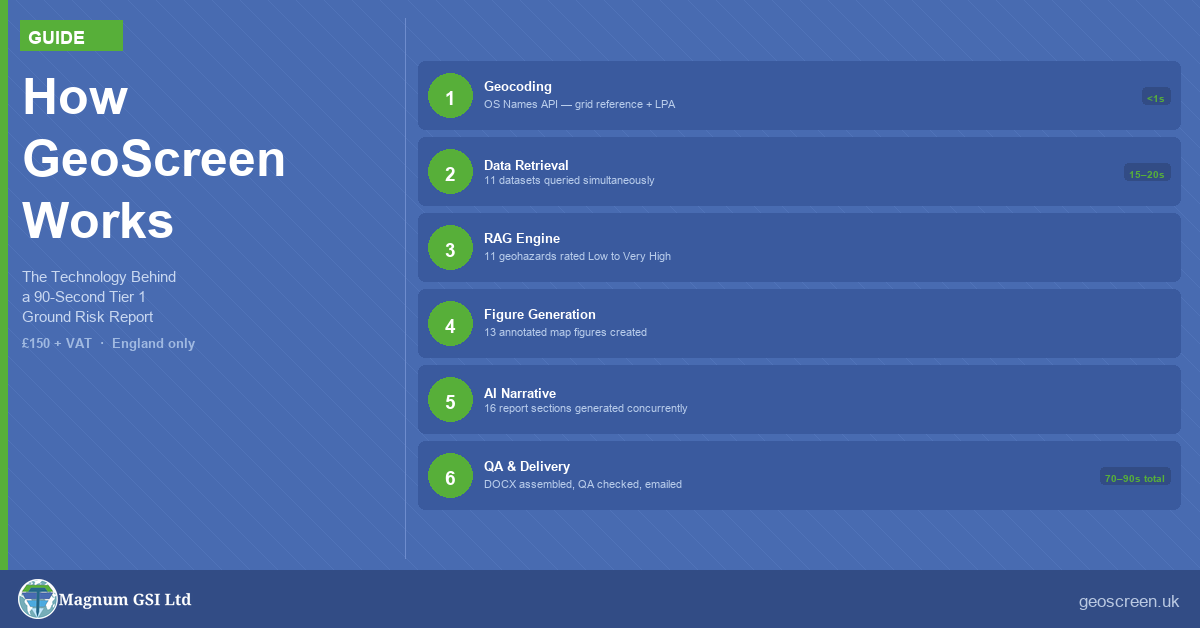
How GeoScreen Works — The Technology Behind a 90-Second Ground Risk Report

How GeoScreen Works — The Technology Behind a 90-Second Ground Risk Report When people hear that GeoScreen delivers a Tier 1 Preliminary Ground Risk Screening Report — a fully automated desk-based assessment — in around 90 seconds, the first question is simple: How? A manually produced desk study typically takes a competent geotechnical engineer one

By |2026-09-22T17:00:19+00:00June 21st, 2026|Design, Featured, Geoscience, Geoscreen, News, Technology|Comments Off on How GeoScreen Works — The Technology Behind a 90-Second Ground Risk Report
Go to Top