



GeoScreen launched with one tier, one country, and one job: an automated Tier 1 desk study, England
only. It’s grown a fair amount since then, and it felt worth stopping to actually list what’s different
now — not as a features press release, but because almost none of it happened because it looked good on a
roadmap. Most of it happened because someone asked a good question, a real site hit an edge case, or a
customer needed something the first version genuinely didn’t have.
A second tier, at a different price point. Tier 0 launched a few weeks after Tier 1 —
a £75 ground risk snapshot that runs the exact same data pipeline and produces the exact same figures as
the full £150 report, just without the AI narrative, borehole table, and Conceptual Site Model. Same
underlying assessment, less writing, for situations where a fast yes/no screen is genuinely what’s
needed.
A second country. GeoScreen was England-only at launch — a deliberate choice; better
to be reliable across one nation than thin across three. Wales support went live at the end of July, built
on its own data sources (Natural Resources Wales, Cadw, Welsh planning policy), not a find-and-replace on
the English ones. Scotland’s next, on no fixed timeline.
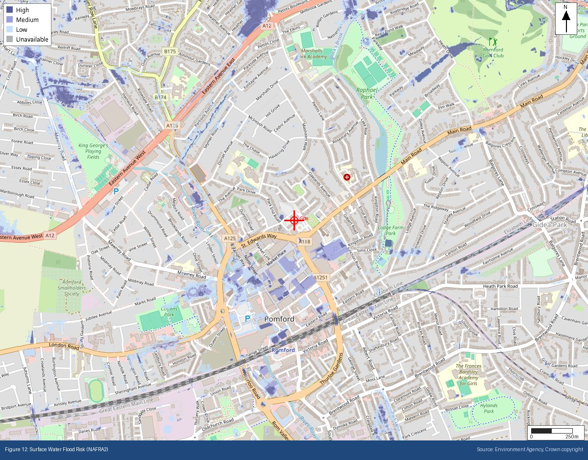
More than double the data sources. GeoScreen queried 8+ public datasets at launch.
It’s over 17 now — added as real gaps became obvious: the Environmental Permits Register, LiDAR-derived
terrain data, Source Protection Zones, surface water flood risk as its own rated hazard rather than folded
into general flood risk, a historical map gazetteer of over a million labelled features, and a check for
buried and underground structures — tunnels, underpasses, recorded mine shafts — that didn’t exist in any
form at launch.
An extra rated hazard. GeoScreen assessed 10 geohazard categories at launch. Surface
water flood risk — genuinely distinct from river and coastal flooding, and easy to miss if a platform only
checks the one flood layer — is now its own rated category, bringing the total to 11.
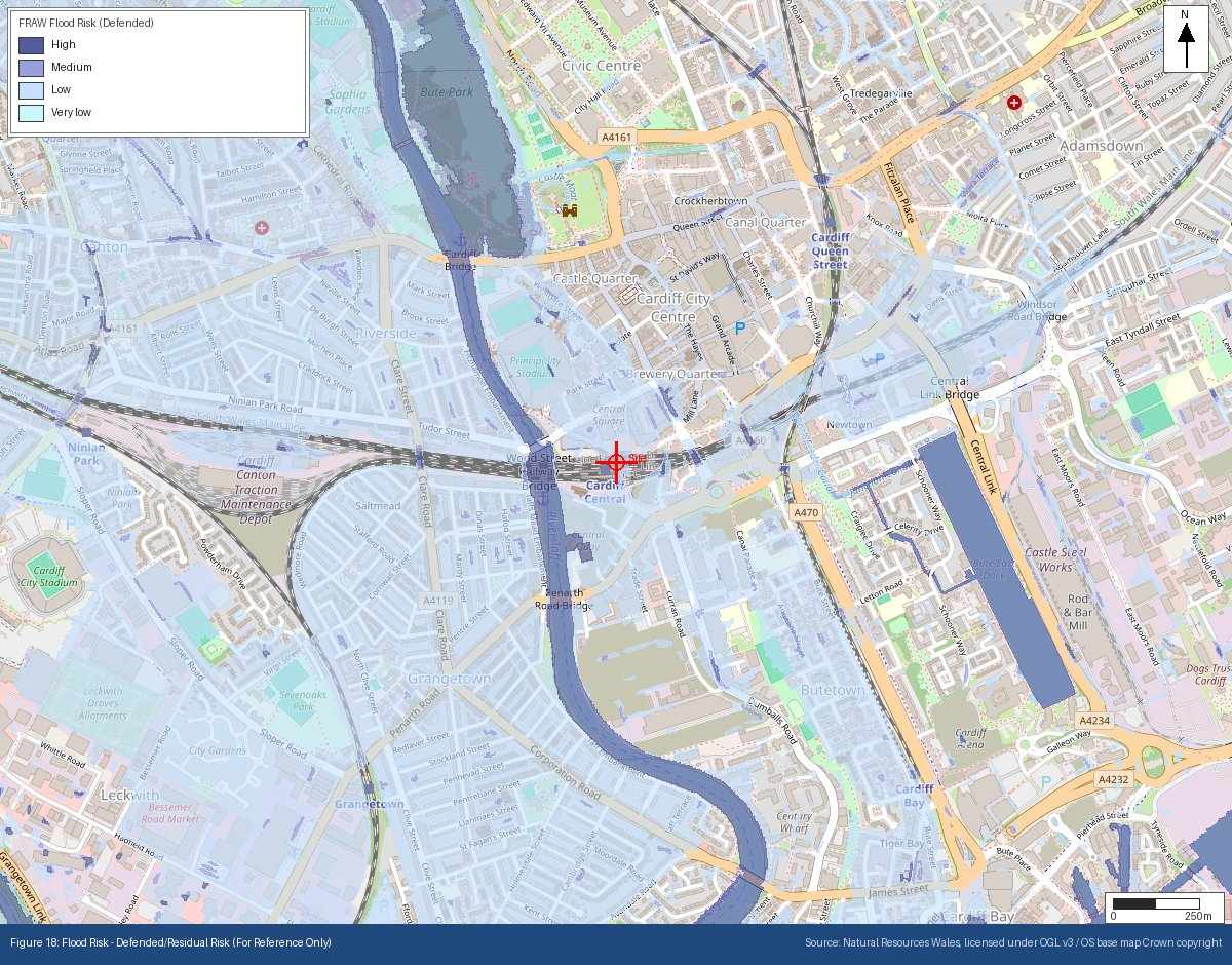
More figures, doing more work. Every report now includes 18 annotated figures —
including two added specifically to show buried structures and recorded mine shaft locations, and one new
reference-only figure showing defended flood risk (accounting for existing flood defences) alongside the
statutory undefended rating every hazard score is actually based on.
None of this changed what GeoScreen is. It’s still a controlled, rule-governed
screening tool, not a substitute for a site-specific investigation — every one of these additions had to
fit the same discipline the product launched with: an explicit rule behind every rating, not an AI guess
filling a gap. Growing the coverage without loosening that standard has been the actual constraint the
whole time.
See the current tier breakdown and order a report at geoscreen.uk →
