About Magnum GSI

Tristan Morgan BSc(Hons) EurGeol CGeol FGS AMICE — UK Registered Ground Engineering Specialist and Director of Magnum GSI Ltd. About Tristan →

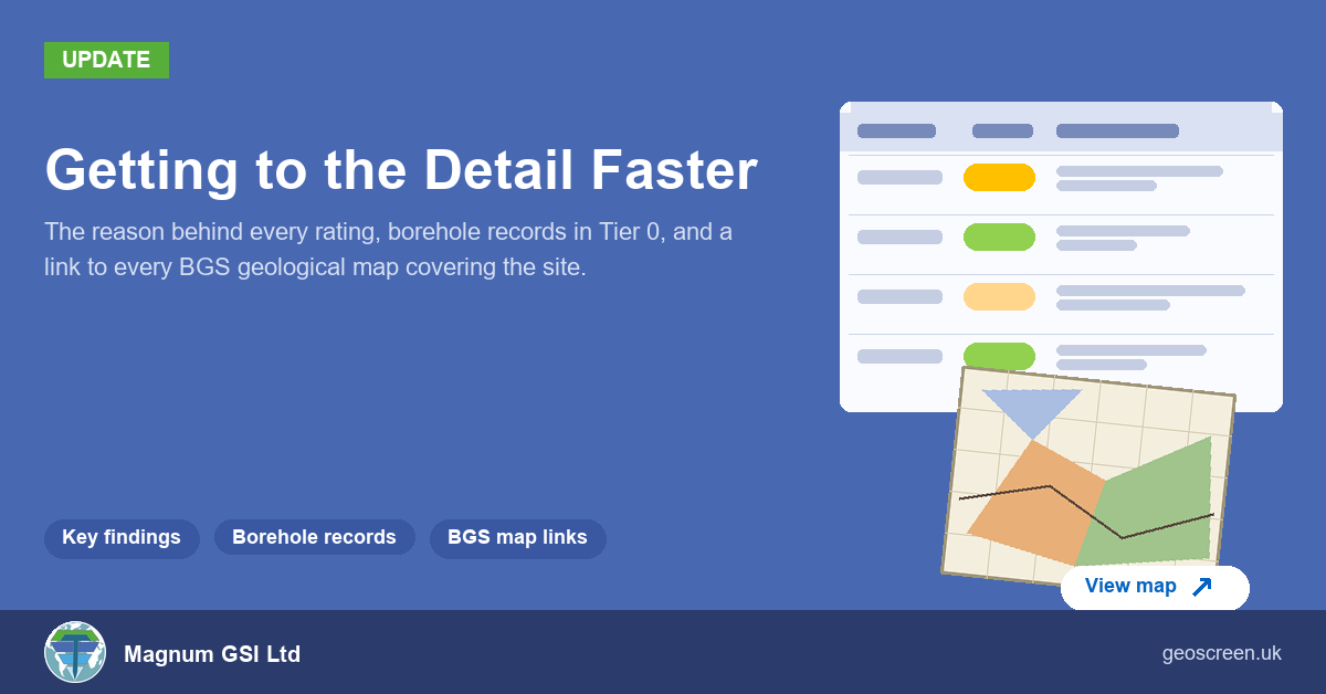
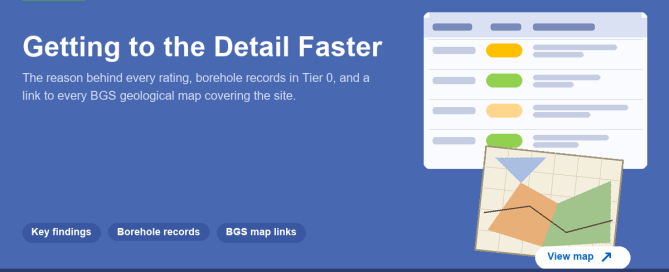
Getting to the Detail Faster: Key Findings, Boreholes and BGS Map

A screening report gets read in a hurry. Someone wants to know whether a site has a problem, why, and where to look next. Over the last couple of weeks I've made three changes to GeoScreen reports aimed at exactly that: getting from the rating to the evidence behind it, and from the report to

By |2026-10-27T18:21:28+00:00October 27th, 2026|Design, Featured, Geoscience, Geoscreen, News, Technology|Comments Off on Getting to the Detail Faster: Key Findings, Boreholes and BGS Map

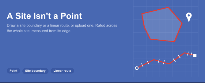
A Site Isn’t a Point: Adding Site Boundaries and Routes to GeoScreen

Until now, every GeoScreen report has started from a single point. You type an address or a grid reference, drag the pin if it's in the wrong place, and the report searches outwards from there. That works for a house plot. It doesn't really work for a 20 hectare housing site, a solar farm or

By |2026-10-20T15:48:58+00:00October 20th, 2026|Featured, Geoscience, Geoscreen, News, Technology|Comments Off on A Site Isn’t a Point: Adding Site Boundaries and Routes to GeoScreen

GeoScreen Now Covers Scotland: What’s Different North of the Border

GeoScreen now covers Scotland. You can order a report for any site in England, Wales or Scotland, at the same price, with the same hazard ratings and the same 18 figures. When we added Wales in the summer, most of the work was swapping data sources: Natural Resources Wales instead of the Environment Agency, Cadw

By |2026-10-13T20:01:57+00:00October 13th, 2026|Design, Featured, Geoscience, Geoscreen, News|Comments Off on GeoScreen Now Covers Scotland: What’s Different North of the Border

Why Mining Legacy Still Catches Developers Out in 2026

I'm based in County Durham, so mining legacy comes up a lot. Most of the deep pits closed decades ago, and the ground they left behind usually looks like any other field, playing field or housing estate. You'd never know it was there. It's one of the best-recorded ground risks we have, and it still

By |2026-10-06T17:07:33+00:00October 6th, 2026|Design, Geoscience, Geoscreen, News, Uncategorized|Comments Off on Why Mining Legacy Still Catches Developers Out in 2026

More Data, Better Data — What Actually Improves a Ground Risk Assessment

More data doesn't automatically make an assessment better — it depends on what the extra data is actually doing. A few different things get lumped under "more data," and they're not all the same kind of improvement. Coverage is the obvious one. No single public dataset covers everything a site assessment needs — flood risk,

By |2026-10-30T18:11:02+00:00September 22nd, 2026|Design, Featured, Geoscience, Geoscreen, News, Technology, Uncategorized|Comments Off on More Data, Better Data — What Actually Improves a Ground Risk Assessment

GeoScreen Now Separately Rates Compressible Ground and Shrink-Swell Risk on the Same Clay

Compressible ground and shrink-swell clay are two different ways the same clay can cause problems for a foundation — one's settlement under load, the other's volume change with moisture content. They're separate failure mechanisms, and until recently GeoScreen rated them from different evidence: shrink-swell from the bedrock beneath a site, compressible ground only from soft

By |2026-09-22T18:43:11+00:00September 16th, 2026|Design, Featured, Geoscience, Geoscreen, News, Technology|Comments Off on GeoScreen Now Separately Rates Compressible Ground and Shrink-Swell Risk on the Same Clay

Live API Calls vs a Database, and What We’re Weighing Next

Every GeoScreen report today is built much the same way: the moment someone orders one, the platform fires off live calls to around thirty different public data sources in parallel — Environment Agency flood mapping, BGS geology, Natural England's ecological designations, and so on — and assembles whatever comes back into a report, typically inside

By |2026-10-30T18:11:01+00:00September 8th, 2026|Uncategorized|Comments Off on Live API Calls vs a Database, and What We’re Weighing Next

How We Test Every GeoScreen Report Before It Ships

Every rating GeoScreen produces comes from an explicit rule, not a guess. That's the whole idea the product's built on, so it's worth actually explaining what sits behind that claim rather than just stating it and moving on. Before a report reaches anyone, it goes through two checks. One is rule-based and checks the output

By |2026-10-30T18:11:01+00:00September 2nd, 2026|Design, Featured, Geoscience, Geoscreen, News, Technology, Uncategorized|Comments Off on How We Test Every GeoScreen Report Before It Ships

Why Tier 2 Is Taking Longer Than “Just Add More Detail”

Every GeoScreen tier runs on the same idea — an explicit rule behind every rating, not a guess. Tier 2 has been in development for a while now, and it's worth actually explaining why, rather than leaving it as "coming soon." The obvious answer — it just needs an engineer's time on top of what

By |2026-08-25T16:09:33+00:00August 25th, 2026|Design, Featured, Geoscience, Geoscreen, News, Technology, Uncategorized|Comments Off on Why Tier 2 Is Taking Longer Than “Just Add More Detail”

Everything That’s Changed Since GeoScreen Launched

GeoScreen launched with one tier, one country, and one job: an automated Tier 1 desk study, England only. It's grown a fair amount since then, and it felt worth stopping to actually list what's different now — not as a features press release, but because almost none of it happened because it looked good on

By |2026-10-30T18:11:00+00:00August 18th, 2026|Uncategorized|Comments Off on Everything That’s Changed Since GeoScreen Launched
Go to Top