 Magnum GSI
Know what's in the ground before you commit.
Chartered geotechnical engineers helping developers, architects and planners understand ground risk early, from a same-day screening report to a full desk study, then planning and managing the ground investigation.

Two ways to work with us
From a quick screen to a full assessment
Start with an automated GeoScreen report when you need an answer fast. When a project needs more, we write the desk study, then plan, scope and manage the ground investigation.
 Automated · delivered by email in minutes
GeoScreen® ground risk reports
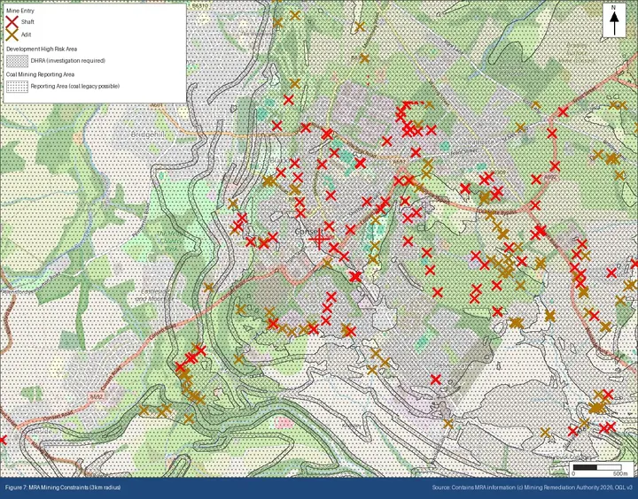
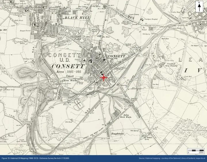
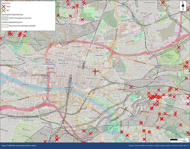
- 11 rule-governed geohazard ratings, plus a Source Protection Zone check
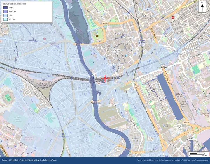
- 18 annotated figures, borehole records and BGS map links
- A single point, a site boundary or a linear route
- England, Wales and Scotland
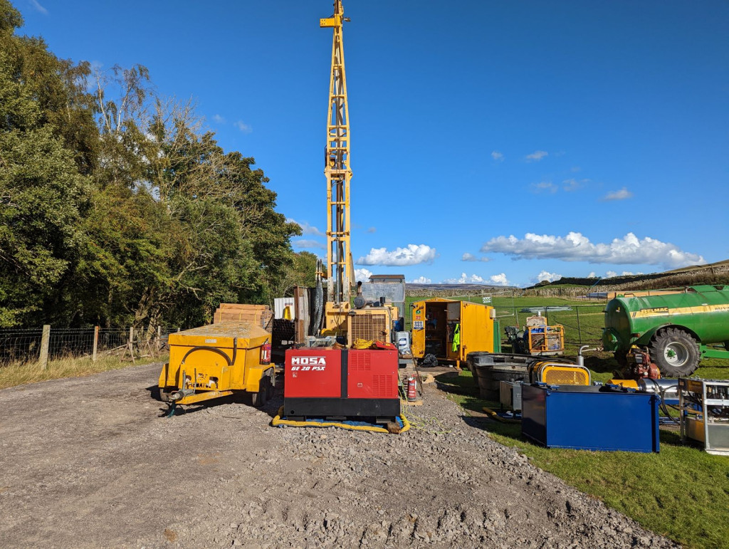 Consultancy · authored by chartered engineers
Geotechnical consultancy
- BS 5930 desk studies with site walkover
- Ground investigation scoping, design and management
- Geotechnical and geo-environmental assessment
- Ground engineering advice through design and construction
GeoScreen®
A controlled ground risk screen, not an AI report generator
Every hazard rating, geology description and planning constraint follows an explicit rule, so the same site always gets the same, defensible answer. GeoScreen checks around 30 public data sources in parallel and delivers an editable report by email in minutes.
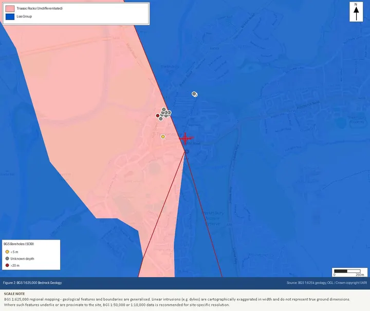
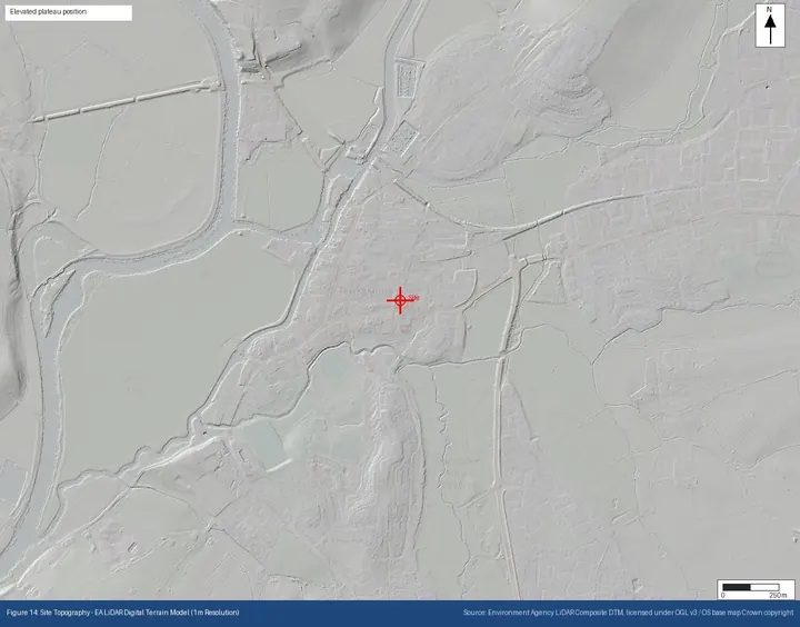
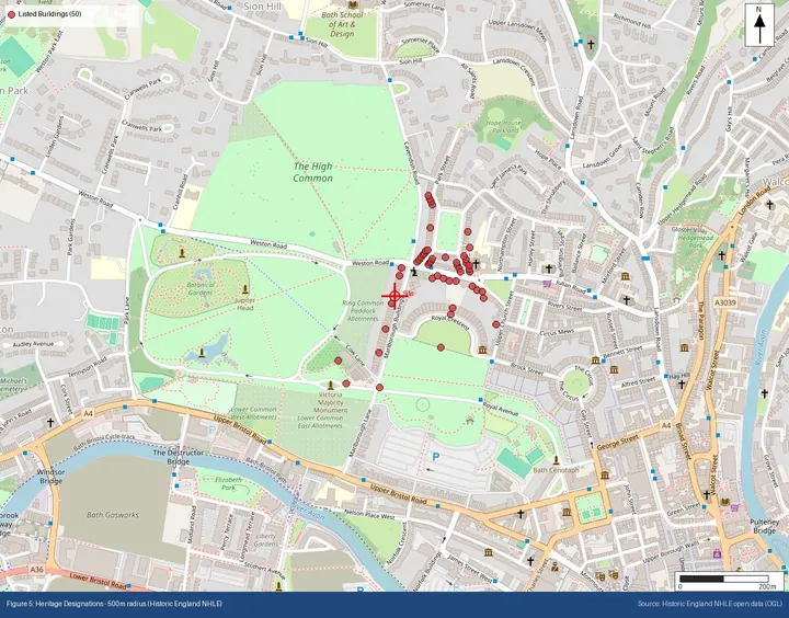
Services
Geoscience and ground engineering
Support at every stage of a project, from site selection and due diligence through to design and construction.
Desk study reporting
Geoscientific desk studies to BS 5930, drawing on geology, history, hydrogeology and site walkover.
Case study →Due diligence
Ground risk reporting to support acquisition, lending and early-stage feasibility.
Case study →Ground risk assessment
Identifying, rating and managing ground hazards before they affect cost or programme.
Case study →Ground investigation
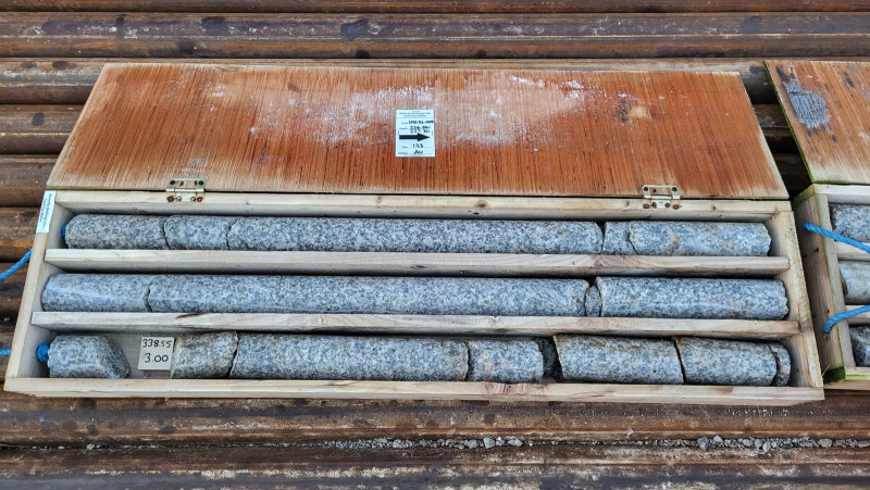
Planning, scoping, design and management of intrusive ground investigations.
Case study →Geotechnical & geo-environmental assessment
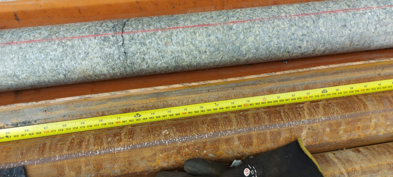
Interpretation of investigation data for design and contamination risk.
Case study →Ground engineering advice
Practical advice to design teams and contractors on foundations, slopes and earthworks.
All services →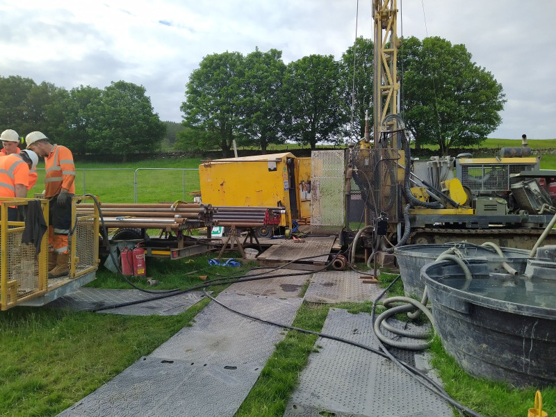

About Magnum GSI
“Most ground problems are cheaper to deal with the earlier you find them: better on paper, or at an early investigation stage, than during construction. We built our services, and GeoScreen, around identifying ground risk early.”
Tristan Morgan BSc(Hons) EurGeol CGeol FGS AMICE
Founder and Director, Magnum GSI Ltd
Magnum GSI Ltd is a geotechnical engineering consultancy based in County Durham. We combine decades of ground investigation and geotechnical assessment experience with modern data tools to support developers, architects, planners and land professionals.


Have a site in mind?
Tell us about your project and we'll suggest the right level of assessment.