


GeoScreen Now Separately Rates Compressible Ground and Shrink-Swell Risk on the Same Clay

Compressible ground and shrink-swell clay are two different ways the same clay can cause problems for a foundation — one's settlement under load, the other's volume change with moisture content. They're separate failure mechanisms, and until recently GeoScreen only checked for one of them on formations that can genuinely produce both. That's changed. The platform

By |2026-09-16T07:43:31+00:00September 16th, 2026|Design, Featured, Geoscience, Geoscreen, News, Technology|Comments Off on GeoScreen Now Separately Rates Compressible Ground and Shrink-Swell Risk on the Same Clay

How We Test Every GeoScreen Report Before It Ships

Every rating GeoScreen produces comes from an explicit rule, not a guess. That's the whole idea the product's built on, so it's worth actually explaining what sits behind that claim rather than just stating it and moving on. Before a report reaches anyone, it goes through two checks. One is rule-based and checks the output

By |2026-09-02T12:30:24+00:00September 2nd, 2026|Design, Featured, Geoscience, Geoscreen, News, Technology, Uncategorized|Comments Off on How We Test Every GeoScreen Report Before It Ships

Why Tier 2 Is Taking Longer Than “Just Add More Detail”

Every GeoScreen tier runs on the same idea — an explicit rule behind every rating, not a guess. Tier 2 has been in development for a while now, and it's worth actually explaining why, rather than leaving it as "coming soon." The obvious answer — it just needs an engineer's time on top of what

By |2026-08-25T16:09:33+00:00August 25th, 2026|Design, Featured, Geoscience, Geoscreen, News, Technology, Uncategorized|Comments Off on Why Tier 2 Is Taking Longer Than “Just Add More Detail”

Understanding EA Flood Zones — what Flood Zone 1, 2 and 3 mean for your development

If you're buying land or bringing a site forward for development in England, flood risk is one of the first things a planning authority will look at — and one of the most common reasons a scheme runs into difficulty. Yet the flood zone system is widely misunderstood, and a surprising number of site appraisals

By |2026-07-21T19:52:27+00:00July 21st, 2026|Featured, Geoscience, Geoscreen, News, Technology, Uncategorized|Comments Off on Understanding EA Flood Zones — what Flood Zone 1, 2 and 3 mean for your development

The gaps GeoScreen was built to fill.

When we were developing GeoScreen, we weren't trying to replace the traditional consultancy model. We were trying to address the gaps it can't economically service — the situations where good ground risk work was either too slow to arrive, too expensive to justify, or simply not viable at the scale or speed a project demanded.

By |2026-07-07T19:42:54+00:00July 7th, 2026|Design, Featured, Geoscience, Geoscreen, News, Technology|Comments Off on The gaps GeoScreen was built to fill.

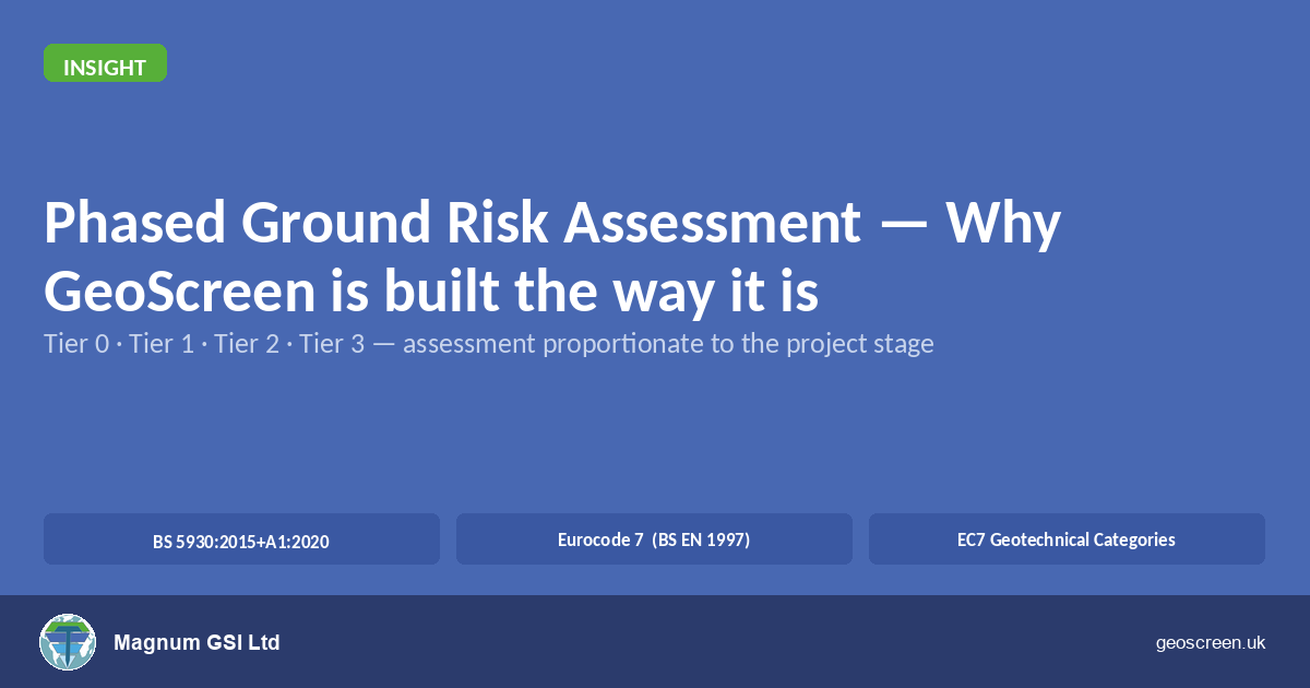
Phased Ground Risk Assessment — Why GeoScreen is Built the Way It Is

If you've worked in ground engineering or development for any length of time, you'll be familiar with the phased approach to site investigation. It's one of the most well-established principles in geotechnical practice: build knowledge progressively, let each stage inform the next, and don't commission intrusive investigation until you understand what you're looking for. GeoScreen's

By |2026-06-29T10:43:09+00:00June 29th, 2026|Design, Featured, Geoscience, Geoscreen, News, Technology, Uncategorized|Comments Off on Phased Ground Risk Assessment — Why GeoScreen is Built the Way It Is

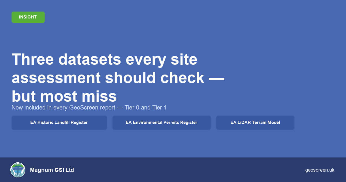
Three datasets every site assessment should check — but most miss

When I built GeoScreen, the goal was straightforward: take the datasets a competent geotechnical engineer would check and automate the interrogation so nothing gets missed under time pressure. The platform launched with eleven geohazard categories, BGS geology, EA flood mapping, and heritage and ecology datasets — the core stack. But after running many reports and

By |2026-06-25T15:03:52+00:00June 25th, 2026|Design, Featured, Geoscience, Geoscreen, News, Technology|Comments Off on Three datasets every site assessment should check — but most miss

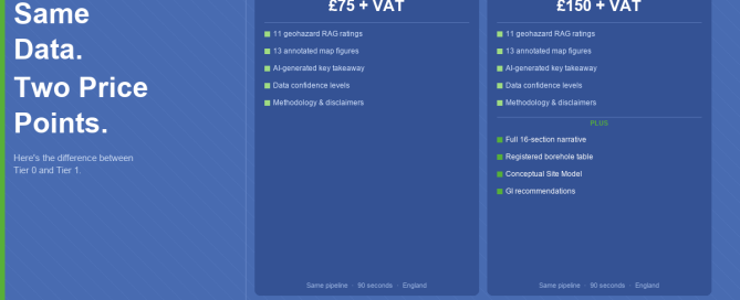
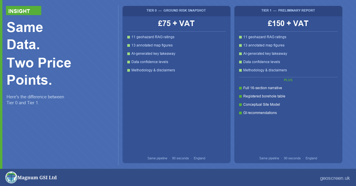
Same Data. Two Price Points. Here’s the Difference.

GeoScreen — an automated geotechnical desk study platform — is now live in two tiers: Tier 0 — Ground Risk Snapshot: £75 + VAT Tier 1 — Preliminary Ground Risk Screening Report: £150 + VAT The question we're getting is obvious: what's the difference? The short answer is simple: the data is identical — only

By |2026-06-24T07:30:24+00:00June 24th, 2026|Design, Featured, Geoscience, Geoscreen, News, Technology|Comments Off on Same Data. Two Price Points. Here’s the Difference.

How GeoScreen Works — The Technology Behind a 90-Second Ground Risk Report

How GeoScreen Works — The Technology Behind a 90-Second Ground Risk Report When people hear that GeoScreen delivers a Tier 1 Preliminary Ground Risk Screening Report — a fully automated desk-based assessment — in around 90 seconds, the first question is simple: How? A manually produced desk study typically takes a competent geotechnical engineer one

By |2026-07-14T17:04:06+00:00June 21st, 2026|Design, Featured, Geoscience, Geoscreen, News, Technology|Comments Off on How GeoScreen Works — The Technology Behind a 90-Second Ground Risk Report

What GeoScreen Is — and What It Isn’t

What GeoScreen Is — and What It Isn't GeoScreen produces a preliminary desk study. It is not a BS 5930:2015-compliant desk study (as clearly noted in the report itself), but a fast, consistent, data-driven starting point — something to have in hand when first considering a site, before committing to the cost of a full

By |2026-06-21T21:31:25+00:00June 18th, 2026|Design, Featured, Geoscience, Geoscreen, News, Technology|Comments Off on What GeoScreen Is — and What It Isn’t
Go to Top