 Magnum GSI
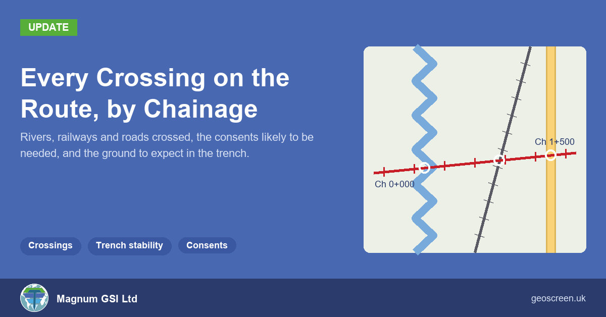
A couple of weeks ago I wrote about GeoScreen taking a site boundary or a route instead of a single point. For a route, that meant chainage throughout the report, so a flood zone reads as a stretch of the route rather than a distance from a pin.
For a route, the next question is a practical one. If you’re putting a cable, pipe or duct in the ground along that line, what does it actually cross, and who do you need to talk to? It came up when an independent reviewer went through one of our test route reports, so route reports now have a section that answers it: Section 9.2, Route Constructability.
Crossings
The first paragraph lists every watercourse, railway and classified road the route crosses, each with its chainage, and says whose consent or agreement is likely to be needed. Minor roads are given as a count, so a route through a housing estate doesn’t turn into a list of every cul-de-sac.
For a 1 km test route through Tewkesbury, it reads:
The route crosses the River Swilgate at Ch 0+211. Depending on its status, a flood risk activity permit from the Environment Agency (EA) (main rivers) or ordinary watercourse consent from the Lead Local Flood Authority is likely to be needed. The route also crosses the A438 Barton Road at Ch 0+043, and agreement from the highway authority under the New Roads and Street Works Act 1991 should be anticipated. There are 6 minor road crossings.
Where a route crosses a river, a railway or a main road, the report says trenchless methods such as directional drilling may be worth considering there, subject to ground conditions. It doesn’t go further than that. Whether to drill or open-cut is a design decision, and it depends on things a desk study can’t see.
The crossings come from mapped data, not from anyone reading a map. Rivers and streams come from OS Open Rivers, roads from OS MasterMap Highways (with the road class, number and name), and railways from mapped railway land, including sidings. If a route runs along a road for a stretch rather than across it, that’s listed separately. If the road data can’t be reached when the report runs, the report says road crossings weren’t confirmed rather than saying there aren’t any.
The consent bodies follow the country. In Scotland, watercourse work is authorised by SEPA and the Roads (Scotland) Act applies alongside the street works legislation. In Wales it’s Natural Resources Wales. Railways go to Network Rail’s asset protection team, or to the owner of a private siding.
Excavation, groundwater and what’s in the way
The other three paragraphs take what’s already in the report and put it in trench terms, along the route.
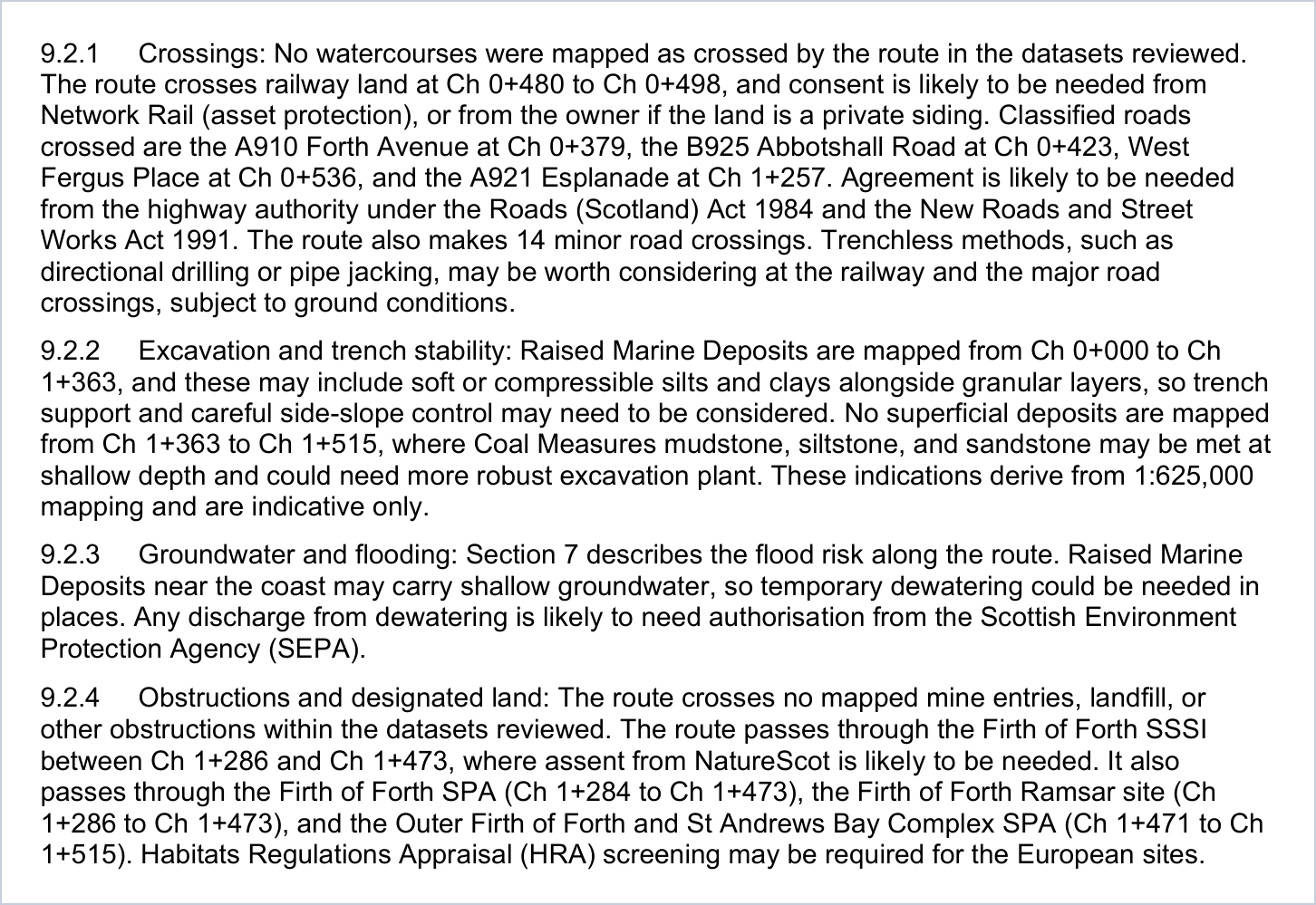
Excavation and trench stability uses the mapped geology by chainage. On the Tewkesbury route, alluvium is mapped for the first 859 m, so soft or compressible ground and trench support are flagged there, with mudstone possible at shallow depth for the last stretch. A route near Rotherham sits on Coal Measures throughout with no superficial deposits mapped, so the paragraph talks about weathered mudstone, siltstone and sandstone, and the chance of stronger rock at shallow depth.
Groundwater and flooding gives the flood zone stretches and whether shallow groundwater, and so temporary dewatering, is likely, with the body that would need to consent any discharge.
Obstructions and designated land covers anything the route actually crosses or comes within 20 m of: landfill, recorded mine entries, and designated sites. The Tewkesbury route crosses the historic landfill at Priors Park near Ch 0+667, so the report flags that made ground or ground gas may be met there and that excavated material may need specialist handling. A route along the front at Kirkcaldy passes through the Firth of Forth SSSI, SPA and Ramsar site between Ch 1+284 and Ch 1+473, so it says consent from NatureScot and Habitats Regulations Appraisal screening may be needed for that stretch.
What it isn’t
It’s a screening section, and it’s written that way. Everything is hedged, there are no depths, methods, programmes or costs, and it only names crossings and chainages that are in the data. It won’t find buried services, and it doesn’t replace utility searches, a crossing survey or a proper constructability review. What it does is give you, in one place and in chainage order, the list of things you’d otherwise build by hand from five or six different maps before you could even scope that work.
Section 9.2 is in every Tier 1 route report, at the same price as a point report for routes up to 3 km end to end. The Kirkcaldy route in the sample reports has it, so you can see a full one. If you’d like to see it on a route you’re working on, draw it or upload the file at geoscreen.uk, or send it to me and I’ll run it.
