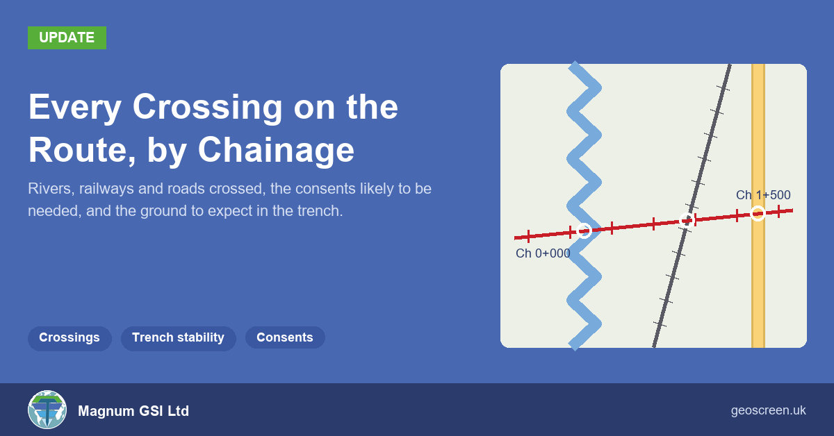
Routes: Every River, Railway and Road Crossing by Chainage

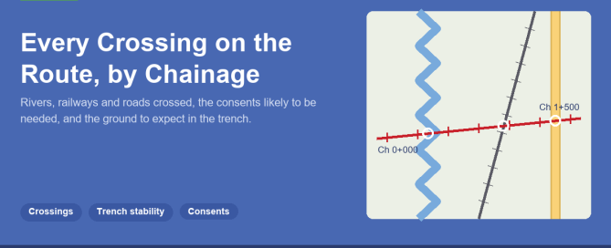
A couple of weeks ago I wrote about GeoScreen taking a site boundary or a route instead of a single point. For a route, that meant chainage throughout the report, so a flood zone reads as a stretch of the route rather than a distance from a pin. For a route, the next question is
By |2026-11-03T16:48:17+00:00November 3rd, 2026|Featured, Geoscience, Geoscreen, News, Technology|Comments Off on Routes: Every River, Railway and Road Crossing by Chainage

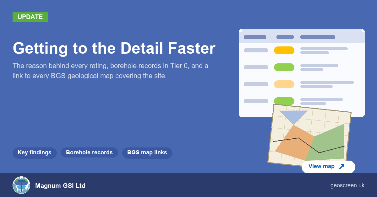
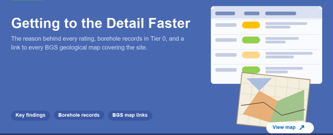
Getting to the Detail Faster: Key Findings, Boreholes and BGS Map

A screening report gets read in a hurry. Someone wants to know whether a site has a problem, why, and where to look next. Over the last couple of weeks I've made three changes to GeoScreen reports aimed at exactly that: getting from the rating to the evidence behind it, and from the report to

By |2026-10-27T18:21:28+00:00October 27th, 2026|Design, Featured, Geoscience, Geoscreen, News, Technology|Comments Off on Getting to the Detail Faster: Key Findings, Boreholes and BGS Map

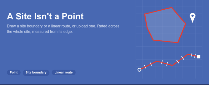
A Site Isn’t a Point: Adding Site Boundaries and Routes to GeoScreen

Until now, every GeoScreen report has started from a single point. You type an address or a grid reference, drag the pin if it's in the wrong place, and the report searches outwards from there. That works for a house plot. It doesn't really work for a 20 hectare housing site, a solar farm or

By |2026-10-20T15:48:58+00:00October 20th, 2026|Featured, Geoscience, Geoscreen, News, Technology|Comments Off on A Site Isn’t a Point: Adding Site Boundaries and Routes to GeoScreen

GeoScreen Now Covers Scotland: What’s Different North of the Border

GeoScreen now covers Scotland. You can order a report for any site in England, Wales or Scotland, at the same price, with the same hazard ratings and the same 18 figures. When we added Wales in the summer, most of the work was swapping data sources: Natural Resources Wales instead of the Environment Agency, Cadw

By |2026-10-13T20:01:57+00:00October 13th, 2026|Design, Featured, Geoscience, Geoscreen, News|Comments Off on GeoScreen Now Covers Scotland: What’s Different North of the Border

More Data, Better Data — What Actually Improves a Ground Risk Assessment

More data doesn't automatically make an assessment better — it depends on what the extra data is actually doing. A few different things get lumped under "more data," and they're not all the same kind of improvement. Coverage is the obvious one. No single public dataset covers everything a site assessment needs — flood risk,

By |2026-10-30T18:11:02+00:00September 22nd, 2026|Design, Featured, Geoscience, Geoscreen, News, Technology, Uncategorized|Comments Off on More Data, Better Data — What Actually Improves a Ground Risk Assessment

GeoScreen Now Separately Rates Compressible Ground and Shrink-Swell Risk on the Same Clay

Compressible ground and shrink-swell clay are two different ways the same clay can cause problems for a foundation — one's settlement under load, the other's volume change with moisture content. They're separate failure mechanisms, and until recently GeoScreen rated them from different evidence: shrink-swell from the bedrock beneath a site, compressible ground only from soft

By |2026-09-22T18:43:11+00:00September 16th, 2026|Design, Featured, Geoscience, Geoscreen, News, Technology|Comments Off on GeoScreen Now Separately Rates Compressible Ground and Shrink-Swell Risk on the Same Clay

How We Test Every GeoScreen Report Before It Ships

Every rating GeoScreen produces comes from an explicit rule, not a guess. That's the whole idea the product's built on, so it's worth actually explaining what sits behind that claim rather than just stating it and moving on. Before a report reaches anyone, it goes through two checks. One is rule-based and checks the output

By |2026-10-30T18:11:01+00:00September 2nd, 2026|Design, Featured, Geoscience, Geoscreen, News, Technology, Uncategorized|Comments Off on How We Test Every GeoScreen Report Before It Ships

Why Tier 2 Is Taking Longer Than “Just Add More Detail”

Every GeoScreen tier runs on the same idea — an explicit rule behind every rating, not a guess. Tier 2 has been in development for a while now, and it's worth actually explaining why, rather than leaving it as "coming soon." The obvious answer — it just needs an engineer's time on top of what

By |2026-08-25T16:09:33+00:00August 25th, 2026|Design, Featured, Geoscience, Geoscreen, News, Technology, Uncategorized|Comments Off on Why Tier 2 Is Taking Longer Than “Just Add More Detail”

GeoScreen Now Covers Wales — What Actually Changed Under the Hood

GeoScreen has, until now, been an England-only product. That was a deliberate scope decision at launch — better to be reliable across one nation than thin across three. As of this update, that scope has grown: GeoScreen now covers Wales, with the same rule-governed rating engine, the same figure set, and the same discipline about

By |2026-09-22T18:39:01+00:00August 4th, 2026|Design, Featured, Geoscience, Geoscreen, News, Technology, Uncategorized|Comments Off on GeoScreen Now Covers Wales — What Actually Changed Under the Hood

Understanding EA Flood Zones — what Flood Zone 1, 2 and 3 mean for your development

If you're buying land or bringing a site forward for development in England, flood risk is one of the first things a planning authority will look at — and one of the most common reasons a scheme runs into difficulty. Yet the flood zone system is widely misunderstood, and a surprising number of site appraisals

By |2026-10-30T18:10:59+00:00July 21st, 2026|Featured, Geoscience, Geoscreen, News, Technology, Uncategorized|Comments Off on Understanding EA Flood Zones — what Flood Zone 1, 2 and 3 mean for your development
Go to Top