 ASSETS_(Mar 21)")

When I built GeoScreen, the goal was straightforward: take the datasets a competent geotechnical engineer would check and automate the interrogation so nothing gets missed under time pressure.
The platform launched with eleven geohazard categories, BGS geology, EA flood mapping, and heritage and ecology datasets — the core stack.
But after running many reports and comparing outputs against real sites, three gaps kept appearing. Not because the underlying data was wrong, but because the relevant registers weren’t being systematically checked.
These are now addressed.
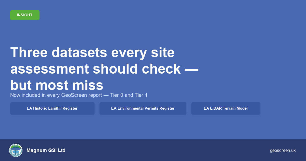
Historic landfill: the register most screening tools ignore
The EA Permitted Landfill Register covers active and recently closed sites. Most contamination screening tools check it.
Fewer check the EA Historic Landfill Register — over 19,000 records of closed sites, many dating back decades, some to the nineteenth century.
The distinction matters because historic landfill sites frequently have no surface expression. Common land, sports grounds, and urban green space have all been used as landfill and subsequently closed without the ground being reworked.
The only reliable way to identify them is to query the register directly.
GeoScreen now does this for every report. Where a historic landfill site lies within 500 metres of the assessed location, it is included in the Historical Land Use review table with waste type, distance, and bearing. It then feeds into both the ground gas assessment and the Conceptual Site Model.
Ground gas risk associated with historic landfill is one of the most commonly underestimated hazards at pre-acquisition stage. Automating this check removes a real gap.
EA Environmental Permits Register: what’s operating near your site today
The EA Environmental Permits Register records regulated facilities across England — including industrial installations, waste operations, radioactive substances sites, and water discharge consents.
For contamination risk, it’s not just what happened historically — it’s what’s operating nearby today.
Every GeoScreen report now includes a regulatory context figure (Appendix O), showing permitted facilities within one kilometre, plotted by type.
For pre-acquisition due diligence, this is often the piece of context that materially changes the scope of follow-on investigation.
One category worth highlighting: minewater discharge consents. Where the Coal Authority holds an active discharge permit at a named former colliery within one kilometre, this is flagged as a supplementary cross-check against Mining Remediation Authority mapping. In practice, this surfaces hydrogeological risk associated with mining that may not be fully captured by mapped development risk polygons alone, particularly at MRA polygon boundaries.
LiDAR terrain data: context a borehole log can’t give you
The Environment Agency’s one-metre resolution LiDAR dataset provides the highest-resolution publicly available elevation data across much of England.
GeoScreen now generates a hillshaded terrain model for every site (Appendix N), with the terrain descriptor feeding directly into the site setting narrative.
This matters for two reasons.
First, it provides immediate visual context for flood risk, slope instability, and surface water behaviour. A reviewer can see how the site sits in the landscape, rather than inferring it from text.
Second, in flat or urban areas, subtle topographic anomalies — suggesting made ground, former quarrying, or infilled features — can become visible in hillshade that aren’t apparent on a standard OS basemap.
Now included in every report
All three additions are now included in both the Tier 1 Ground Risk Screening Report and the Tier 0 Ground Risk Snapshot. There is no additional cost — they form part of the standard data pipeline.
If a site has previously been assessed, it can now be re-screened against the updated dataset stack to reflect the latest available data.
What this means in practice
GeoScreen outputs are a controlled, automated screening tool — not a substitute for a professionally authored desk study where one is required.
What they do is ensure the preliminary screening stage doesn’t miss risks that should have been identified before a site reaches heads of terms.
Run a GeoScreen report and screen your next site at geoscreen.uk