

What GeoScreen Is — and What It Isn’t
GeoScreen produces a preliminary desk study. It is not a BS 5930:2015-compliant desk study (as clearly noted in the report itself), but a fast, consistent, data-driven starting point — something to have in hand when first considering a site, before committing to the cost of a full investigation programme.
It is designed to answer a simple but critical question: what are the key ground risks here, and do they materially affect the decision to proceed?
Where risks are identified, GeoScreen highlights the relevant hazards, their significance, and recommended next steps. Where they are not, it provides that confidence quickly and cost-effectively.
For example, a site flagged with potential shallow mining risk and compressible ground may justify early investigation, whereas a low-risk site may not.
Intrusive ground investigation — including boreholes, trial pits, and laboratory testing — remains essential for design. GeoScreen does not replace this. It informs whether such work is justified, and what it should focus on when required.
The Phased Approach to Ground Risk Assessment
This is not a GeoScreen invention. The phased approach to ground investigation is well established in BS 5930:2015 and Eurocode 7 (BS EN 1997). Ground investigation is an iterative process, beginning with available desk-based information and progressing through preliminary and detailed stages as the design develops.
The level of investigation at each stage should reflect what the project needs to know at that point — no more, no less. Early-stage decisions may not require the same level of detail as detailed design.
GeoScreen aligns directly with this approach, providing a structured entry point into the ground risk assessment process.
Why GeoScreen Uses a Tiered Approach
GeoScreen’s tier structure reflects the natural progression of project understanding. Each tier increases the resolution of the ground model and the level of professional input, matched to the stage of the project and the decisions being made.
Think of it as a zoom: each step brings the ground conditions into sharper focus, aligned with the maturity of the site design.
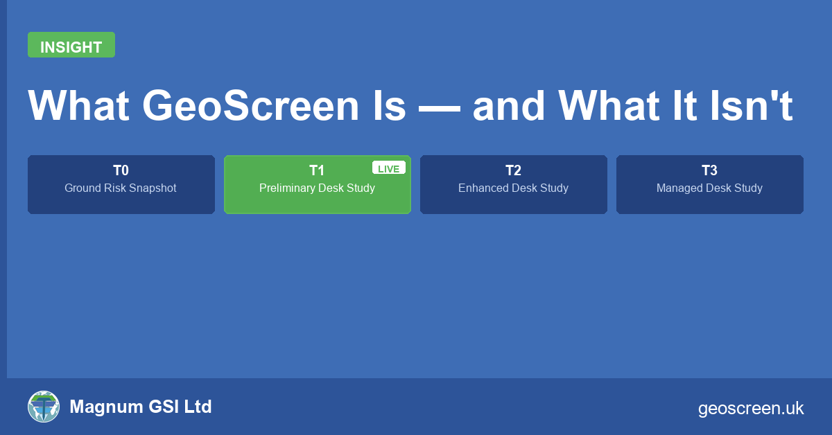
- Tier 0 — Ground Risk Snapshot (available now via geoscreen.uk, £75 + VAT): The same data, the same ratings and the same figures as Tier 1 — a RAG summary table with confidence levels for every hazard, a short key takeaway, and the full set of map figures, without the supporting narrative. Designed for portfolio screening and early pre-acquisition checks.
- Tier 1 — Preliminary Ground Risk Screening Report (available now via geoscreen.uk, £150 + VAT): A fully automated desk study including 11 geohazard ratings, a Source Protection Zone check, supporting narrative, and 18 annotated figures. Each report is generated for the specific site — actual geology, flood zones, heritage assets, and radon class at that location — for any site in England or Wales, and delivered in around 90 seconds.
- Tier 2 — Enhanced Ground Risk Screening Report (in development): Higher-resolution BGS geological data, site boundary referencing, and Chartered Engineer QA review. Intended to support detailed planning and early design, providing a formation-level understanding of ground conditions.
- Tier 3 — Managed Desk Study (available via Magnum GSI Ltd): A fully authored professional desk study, prepared with reference to BS 5930, with optional site walkover. Suited to complex sites or where a PI-insured professional opinion is required — a full ground-model perspective.
See sample reports — including High-risk sites in Tewkesbury (dissolution), Consett (mining) and Cardiff (flood risk, Wales), a Medium-risk site in Romford (shrink-swell clay and surface water flooding), and Tier 0 and Tier 1 versions of the same site side by side.
Tier 2 is currently in development.
Where GeoScreen Fits in Practice
GeoScreen is designed for the earliest stages of site evaluation — when decisions are being made quickly, often with limited information, and before significant costs are committed.
It enables developers, landowners, engineers, and consultants to screen sites efficiently, identify potential constraints, and prioritise further investigation where it adds value.
Because GeoScreen applies the same rules to every site — the same data sources, the same rating thresholds, the same language — it is particularly well suited to portfolio work: multiple sites can be screened consistently, with results that are directly comparable.
It does not replace professional judgement or detailed investigation. Instead, it ensures that both are applied where they are needed most.
GeoScreen reports are available now at geoscreen.uk for any site in England or Wales — Tier 0 from £75 + VAT, Tier 1 from £150 + VAT.
For fully authored professional desk studies, contact Magnum GSI Ltd.
