

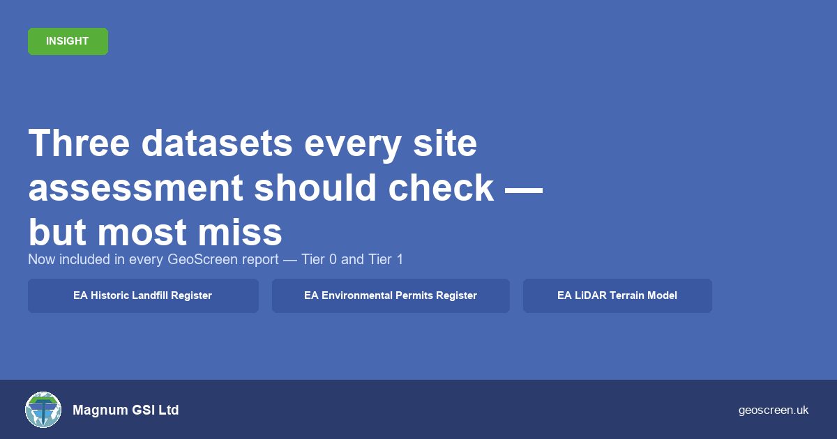
Three datasets every site assessment should check — but most miss

When I built GeoScreen, the goal was straightforward: take the datasets a competent geotechnical engineer would check and automate the interrogation so nothing gets missed under time pressure. The platform launched with a core stack: a set of geohazard ratings built on BGS geology, EA flood mapping, and heritage and ecology datasets. But after running

By |2026-09-22T17:05:51+00:00June 25th, 2026|Design, Featured, Geoscience, Geoscreen, News, Technology|Comments Off on Three datasets every site assessment should check — but most miss

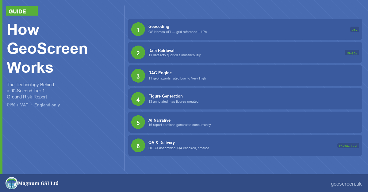
How GeoScreen Works — The Technology Behind a 90-Second Ground Risk Report

How GeoScreen Works — The Technology Behind a 90-Second Ground Risk Report When people hear that GeoScreen delivers a Tier 1 Preliminary Ground Risk Screening Report — a fully automated desk-based assessment — in around 90 seconds, the first question is simple: How? A manually produced desk study typically takes a competent geotechnical engineer one

By |2026-09-22T17:00:19+00:00June 21st, 2026|Design, Featured, Geoscience, Geoscreen, News, Technology|Comments Off on How GeoScreen Works — The Technology Behind a 90-Second Ground Risk Report
Go to Top